
DRAFT 2026 Traffic Analysis Zones (TAZ) for French Broad River MPO
This GIS file contains baseline data per TAZ (Total Population, Total Households, Total Employees, Total K-12 Student Enrollment). Additional baseline data will be provided in the near future.
2026-2035 Transportation Improvement Program (TIP) Interactive Map

An interactive tool to explore the 2024-2033 TIP. Using this tool, the user can search for projects by route name, TIP number, city, county, and more.
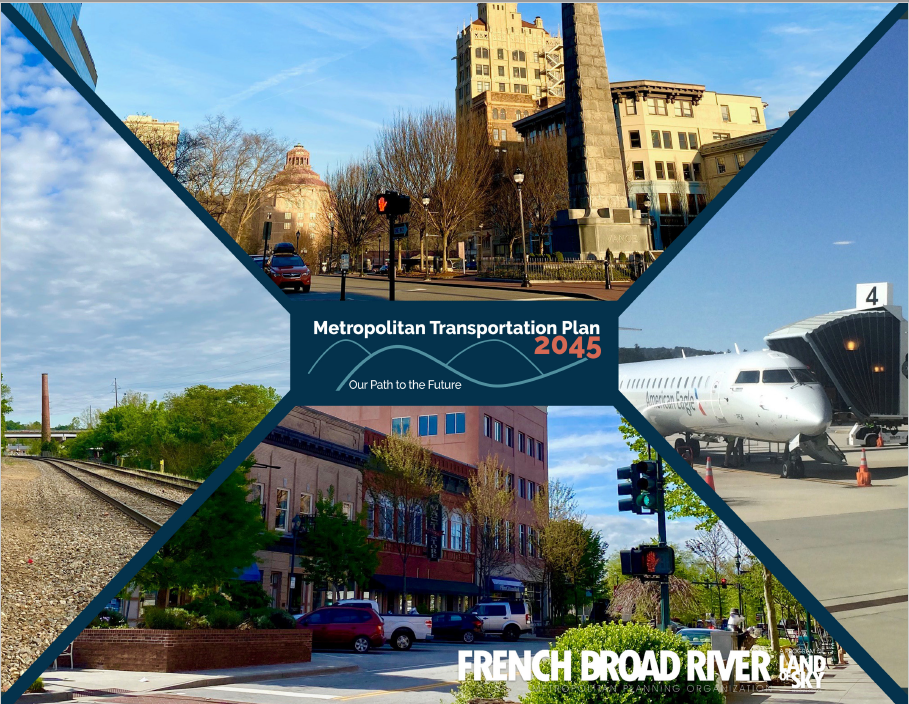
Metropolitan Transportation Plan 2045 Map
A project map of all projects (highway, bike, pedestrian, transit) included in the MTP 2045, including project amendments.
NCDOT Annual Average Daily Traffic (AADT) Map
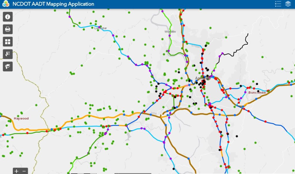
The North Carolina Department of Transportation collects traffic data statewide to analyze and support planning, design, construction, maintenance, operation and research activities required to manage North Carolina’s transportation system. NCDOT uses traffic count stations and publishes reports annually, with secondary roads being counted typically every two years.
FBRMPO Functional Classification Map
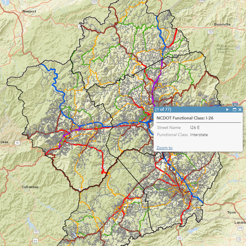
The FBRMPO Functional Class map represents all maintained roads with functional classification assignments. As defined by the United States Federal Highway Administration (FHWA), functional classification is the process by which streets and highways are grouped into classes, or systems, according to the character of service they are intended to pr
MAP AND DATA DISCLAIMER:

LOSRC/FBRMPO/LOSRPO DISCLAIMER The Land of Sky Regional Council, including FBRMPO and LOSRPO, in cooperation with other mapping organizations, is committed to offering its users accurate, useful, and current information about the Region. Although every effort has been made to ensure the accuracy of information, errors and conditions originating from physical sources used to develop the database may be reflected in the map and/or data supplied. The user must be aware of data conditions and bear responsibility for the appropriate use of the information with respect to possible errors, original map scale, collection methodology, currency of data, and other conditions specific to certain data. LOSRC assumes no legal responsibility for the information contained on this map. Users noting errors or omissions are encouraged to contact LOSRC.

LOSRC/FBRMPO/LOSRPO COPYRIGHT All maps are copyrighted by LOSRC. When using the maps, reports, or data collected by LOSRC you agree to acknowledge the LOSRC as a data source.