2050 Land Use and Socio-Economic Projections
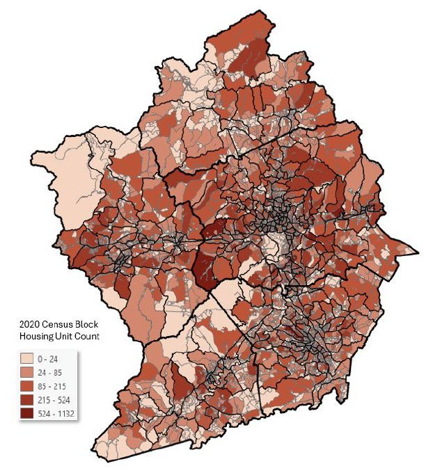
The 2050 Land Use and Socio-Economic Projections forecast for the FBRMPO shows a comprehensive projection of population, employment, and land use change across a five-county area comprising of Buncombe, Haywood, Henderson, Madison, and Transylvania counties. This forecast helped support the development of the Elevate 2050 Metropolitan Transportation Plan (MTP).
Western North Carolina Passenger Rail Feasibility Study
The Western North Carolina (WNC) Passenger Rail Feasibility Study (the study) provides conceptual level capital costs, operating costs, and a range of ridership and revenue associated with a new intercity passenger service connecting Asheville, N.C. with passenger rail services in Salisbury, N.C. The Asheville-to-Salisbury service would operate along the Norfolk Southern (NS) AS-Line for approximately 139 miles.
Regional Transit Feasibility Study
This study kicked off in 2020 and developed recommendations for cross-jurisdictional public transit in the FBRMPO planning area by identifying potential routes and opportunities for coordination (such as establishing a Regional Transit Authority), developing funding strategies, and creating an implementation plan.
Comprehensive Transportation Plan (CTP)
The Comprehensive Transportation Plan (CTP) is the regions multi-modal transportation plan that seeks to identify needed improvements. The CTP represents a community’s consensus on the future transportation system (including the existing system and improvements) needed to support anticipated growth and development over a 25-30 year timeframe. When a CTP is adopted by NCDOT, it represents the state’s concurrence with the identified transportation needs and proposed recommendations.
View Plan»
CTP amendments – Adopted 3/26/20

Elevate 2050 (MTP 2050)
The complete plan, appendices and maps can be found on the Elevate 2050 page.
Elevate 2050 identifies road, bicycle/pedestrian, transit, and rail projects that will help the region achieve its vision and goals over the next 25 years. This federally required planning effort addresses Federal Highway Administration (FHWA) planning factors, incorporates extensive public engagement, and is fiscally constrained. The MTP is a blueprint for the multimodal transportation network’s development, and all projects that receive federal funds must be included in the MTP.
MTP 2045 (Replaced by Elevate 2050)
The 2045 Metropolitan Transportation Plan (MTP) identifies transportation priorities for the next 25 years. It forecasts changes in the region and seeks to identify transportation improvements needed to keep travelers and goods moving smoothly and identity funding for these projects. This plan was adopted in 2020. If you are looking for the current MTP, please look at the Elevate 2050 MTP (linked above).
To view the appendices, maps, and amendments, please visit the 2045 MTP page.
2040 Metropolitan Transportation Plan (Replaced by MTP 2045)
View Plan
- 1: What is the Plan?
- 2: Our Home
- 3: Vision and Goals
- 4: Public Involvement
- 5: Accessibility and Connectivity
- 6: Critical Planning Factors
- 7: Projects and Fiscal Constraint
- 8: Road Projects
- 9: Bike/Pedestrian Projects
- 10: Transit Projects
- Appendix
MTP Amendments – Adopted May 2018
MTP Amendments – Adopted October 2019
The Hellbender Regional Trail Plan – Adopted: 2020
The Hellbender Regional Trail plan outlines a regional bicycle and pedestrian network connecting communities in Western North Carolina. It was developed by a workgroup of regional stakeholders including staff, elected officials, and advocates.
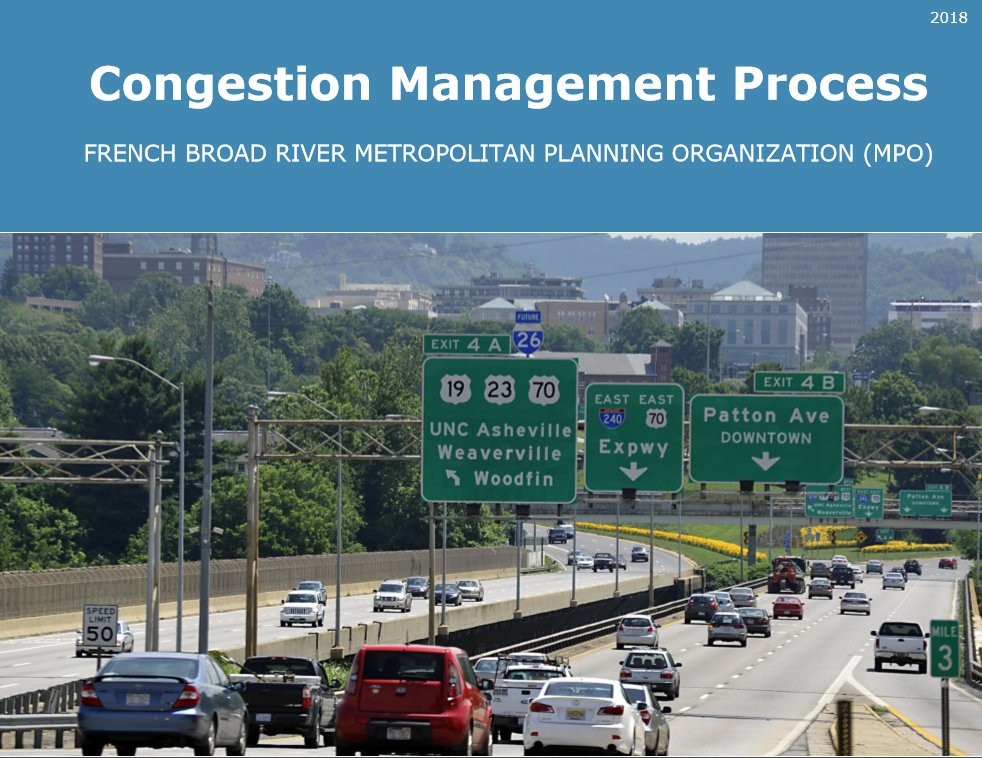
Congestion Management Process – Adopted: 2018
The Congestion Management Process (CMP) lays out a strategic process to identify, manage, and monitor congestion in the MPO’s planning area. The CMP strengthens the link between long-range goals and objectives from the MTP to projects in the region’s TIP by identifying cost-effective, multi-modal strategies to address congestion and safety issues along key corridors.
Asheville Area Congestion Management Report 2021
Asheville Area Congestion Management Report 2023
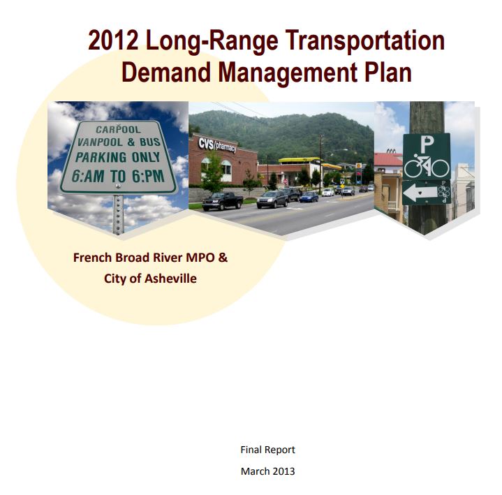
Transportation Demand Management
Transportation Demand Management (TDM) strategies that aims to use transportation resources more efficiently.
TDM strategies include:
- Improved transit options, such as set route transit and dial-a-ride services
- Improved non-motorized planning and facilities (sidewalks, crosswalks and bike lanes)
- Incentives to use alternative modes and reduce driving
- Parking and Land Use management
- Universal Design (transport systems that accommodate all users)
View Long-Range Transportation Demand Management Plan
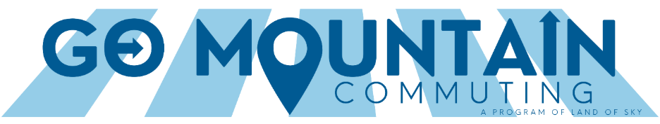
Go Mountain Commuting is the Land of Sky Regional Council’s transportation demand management program. Its mission is to connect people to multimodal resources, and encourage modes of transportation that reduce traffic congestion and improve air quality.
Go Mountain’s premier program is the Commute Friendly WNC workplace and campus certification program, which partners with local organizations to reduce transportation barriers to employment and educational opportunities.
Go Mountain is also known for Strive Not to Drive, a weeklong series fun and educational events in May each year to promote biking, walking, riding the bus, and carpooling around Western North Carolina.
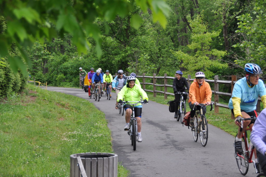
2013 Blue Ridge Bike Plan
The Blue Ridge Bike Plan identifies and articulates the best fit solutions to improve safety and increase potential for people to bicycle around the region.
Coordinated Public Transit-Human Services Transportation Plan
The Locally Coordinated Plan (LCP) provides a framework for the development of projects to address transportation needs of the target populations by ensuring that FBRMPO and public transportation and human service agencies coordinate transportation resources offered through Federal Transit Administration programs.

5307 Transit Formula
French Broad MPO makes federal resources available to urbanized areas (UZAs) for transit capital and operating assistance for transportation related planning. FBMPO is responsible for sub-allocation formula for S.5307 funds to support transit systems not only operated in the City of Asheville, but also by Henderson, Buncombe, and Haywood Counties.
View 5307 Transit Formula Study
Regional Wildlife Crossings
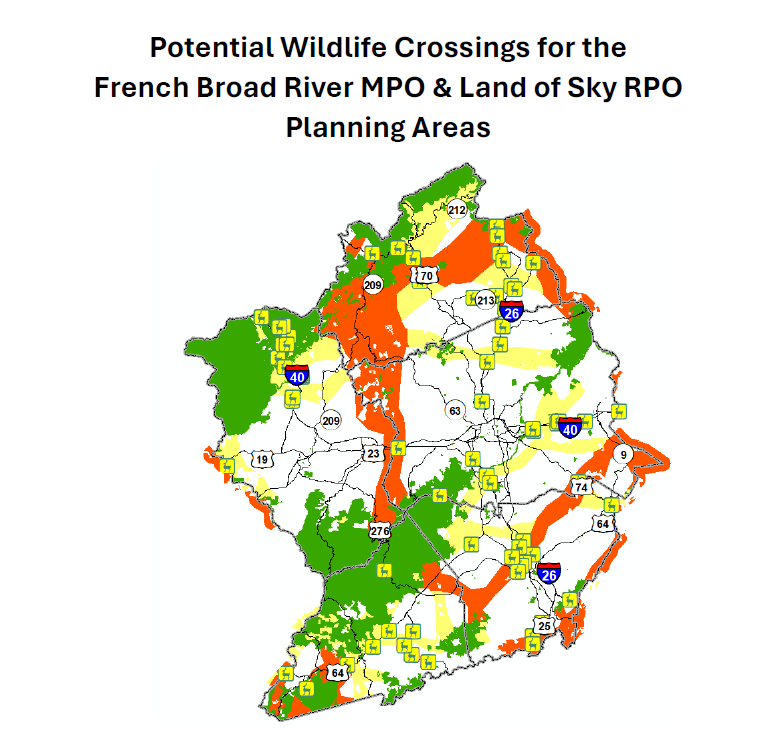
This report reflects an initial review of the French Broad River Metropolitan Planning Organization (MPO) and Land of Sky Rural Planning Organization (RPO) planning areas for potential wildlife crossing locations along area roads and highways.